Tuesday Night Routes
Below are GPS tracks of some of the more popular training routes used by the main senior/vets pack on Tuesday evenings over the lighter nights. Most are variations on a theme and if you’ve ran one or two you’ll soon recognise many areas. On the maps you can zoom in/out, change to satellite image, go fullscreen, use streetview, use the altitude graph to see where the steep climbs are, etc.
Barrachnie Run.
Carmyle, London Rd, Barrachnie, Sandyhills, Fullarton:-
Total climbing: 518 ft
Hampden Run.
Cambuslang, Rutherglen, Toryglen, Hampden, Kings Park Ave, Burnside:-
Total climbing: 440 ft
Clyde Gateway Run.
Dukes Rd, Rutherglen, Shawfield, Clyde Gateway, London Rd, Bogleshole Rd.:-
Total climbing: 436 ft
Some of the summer runs:-
Cathkin Braes, Carmunock, Phillipshill, Kittochside, South Cathkin Farm:-
Total climbing: 1253 ft
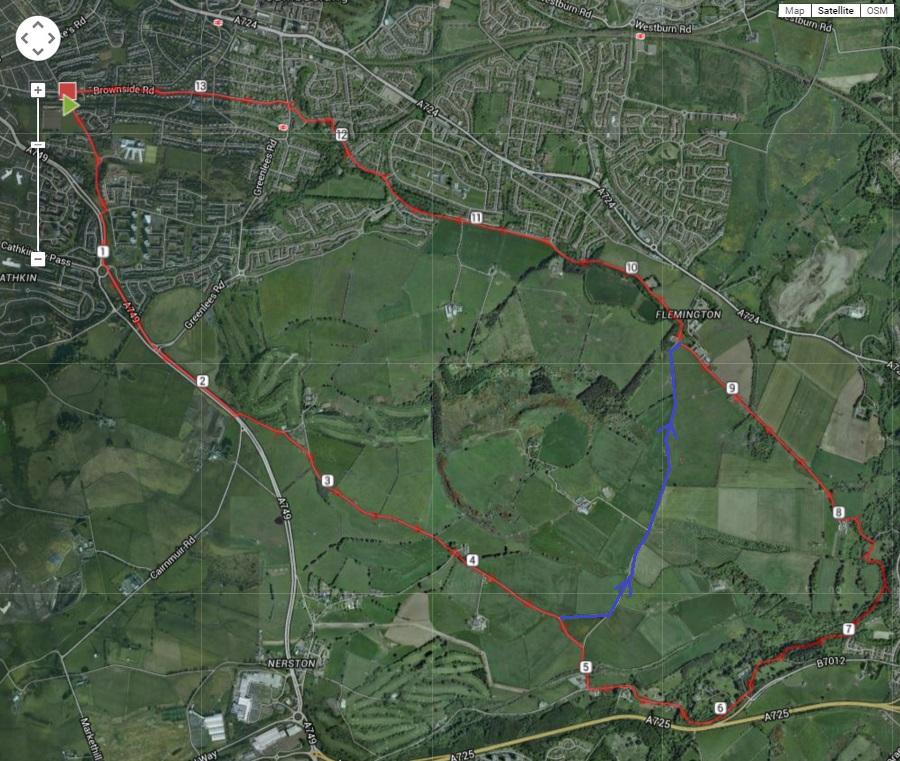
Brownside Rd, Piggery Brae, Nerston, Rogerton, Carmunock, Cathkin Braes
Total climbing: 1010 ft
Blanytre Park
1 comment